


Anthurium davidsoniae Standl.,
Publ. Field Mus. Nat. Hist., Bot. Ser. 22: 4. 1940. TYPE: Panama. Chiriquí: Bajo Chorro, Boquete Dist., 1,800 m, 17 Jan. 1938, Davidson 134 (F 915728, holotype; MO, US, isotypes).
Usually terrestrial, rarely epiphytic; stems elongate, less than 1 cm diam.; cataphylls drying reddish brown; petioles shallowly sulcate with sharp marginal ribs adaxially, 13-27 cm long, 2.5-3.5 mm wide; blades ovate to narrowly ovate, more or less chartaceous, usually conspicuously bullate, 15-23 cm long, 9.5-15.5 cm wide, shallowly and broadly lobed at base. Inflorescence erect; peduncle 9-19 cm long; spathe lanceolate, pale green, 3-5 cm long; 5-10 mm wide; spadix pale yellow-green, 2-4 cm long, 5-7 mm diam. at base; berries greenish yellow; seeds obovoid. See Croat (1983: 288) for a more complete description.
Anthurium davidsoniae is known from Costa Rica and Panama from 1,300 to 2,000 m in premontane rain and lower montane rain forest.
The species is in section Xialophyllium and is recognized by its thin, prominently veined, often bullate leaf blades, its elongate stems, its green spadix, and its greenish yellow berries. The species is related to both Anthurium pallens and A. microspadix, though more closely to the latter. All of these species share a similar habit with elongate stems and a similar inflorescence. Anthurium davidsoniae differs from both by having a much broader, more ovate, more conspicuously bullate leaf blade.
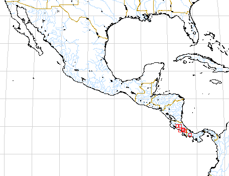
Map of Mesoamerican specimens with coordinates
Costa Rica : 1550-1600 m, 10.18N 84.47W, 19 Aug 1984, Michael H. Grayum &
Pam Sleeper 3839 (MO).
Costa Rica Alajuela:, , Smith 1123 (NY).
Costa Rica Alajuela:, , Smith 431 (MO).
Costa Rica Cartago: 1500-1700 m, 09.43N 83.47W, 12 July 1984, Michael H. Grayum
& Pam Sleeper 3478 (MO).
Costa Rica Cartago: 1650 m, 09.42N 83.47W, 11 Aug 1984, Grayum et al. 3758 (MO).
Costa Rica Cartago:, , Standley 39928 (US).
Costa Rica Cartago:, , Burger & Burger 8434 (F, MO, U).
Costa Rica Cartago: 1350 m, 09.47N 83.48W, 29 Sep 1984, Michael Grayum 3929
(MO, US).
Costa Rica Guanacaste:, , Primack et al. 433 (DUKE).
Costa Rica Heredia: 1850-1880 m, 10.12.00N 84.06.30W, 22 April 1986, Michael
H. Grayum 7356 (MO).
Costa Rica Heredia:, , Thomas B. Croat 36023 (MO). Costa Rica Heredia:, , Skutch
3644 (MICH, MO, NY).
Costa Rica Lim—n: P.N. Cordillera de Talamanca; Cordillera de Talamanca, 1450
m, 09.24.20N 83.13.30W, 3 April 1993, Gerardo Herrera 6175 (CR).
Costa Rica Puntarenas: Monteverde reserve,, , Burger & Baker 9734 (F, MO).
Costa Rica Puntarenas: Monteverde Reserve, 1500-1550 m, 10.18N 84.48W, 17 Nov
1972, Ingram & Ferrell-Ingram 1731 (MO).
Costa Rica Puntarenas: 1500 m,, 4 agosto 1985, William A. Haber & Eric Bello
C. 2228 (MO).
Costa Rica Puntarenas: 1500-1620 m,, 6 Sept. 1984, Willow Z. Pounds 323 (MO).
Costa Rica Puntarenas: Cordillera de Tilarán, 1100 m, 10.16.20N 84.49.30W,
17 June 1993, Zobeida Fuentes 369 (CR, MO).
Costa Rica San José: Cerro Zurqui,, , Almeda 3687 (CAS).
Costa Rica San José:, , Taylor 11303 (NY).
Costa Rica San José: 1100-1200 m, 09.33.30N 84.03.15W, 5 September 1996, Thomas
B. Croat 78932 (INB, MO).
Panama Chiriquí: 1800-2200 m, 08.49N 82.23W, 7 Feb 1986, Michael H. Grayum 6407
(MO).
Panama Chiriquí: 1100-1500 m,, Aug 1984, W.G. D'Arcy & C. Todzia 15955 (MO).
Map of South American Specimens with coordinates
Colombia Valle del Cauca: 03.30.36N 076.37.00W, 17 July 1997, Thomas B. Croat & John F. Gaskin 79951 .